
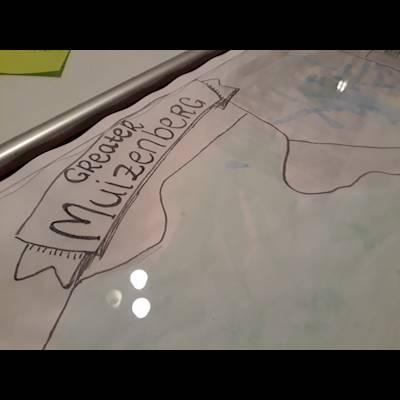
Mapping for Good
Navigating our well-being
Maps – such as atlases, google maps and ordinance maps – have come to be commonplace; but the maps that we use every day, have their histories in systems of military and colonial power. Even the GPS mapping that many people rely on to get around the city has its origins in a project by the US Defence Force. In South Africa, maps have played an important role in surveying and claiming ownership of land, usually by force or coercion. Most maps depict a view from above which shows a detached relationship with the land, a perspective that humans normally would not be able to see other than with expensive machinery. Far from being neutral representations of place, they mirror the values of the society that made them and are usually an expression of power. Other ways of knowing the land, such as through song, story, and craft, are much older and perhaps more intimate ways of communicating relationships between places and all the experiences they hold. Once we are aware of these assets we know how we can build our pathways and futures. We believe that mapping assets is an important tool to support youth in accessing new opportunities. Are you keen to help us creating this map? Contact us now :)
Other stories
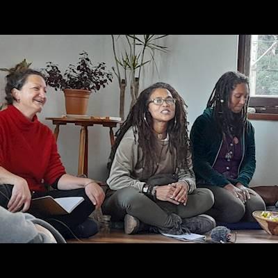
Voices of Women in a Changing Climate
“When women come ether with a collective intention, magic happens.” P. Rashad.
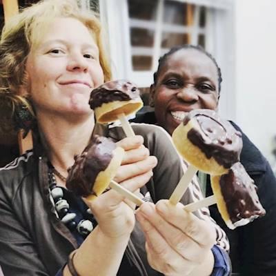
The secret of the Muiz Kitchen
How has the Muiz Kitchen managed to keep going?
Stories from the Muiz Kitchen
The treasures behind the kitchen.

How Amava emerged
A story of love for people and nature.
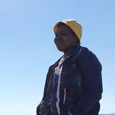
Voices in a Changing Climate
Sandile shares his viewpoint.
Mapping for Good
Navigating our well-being.
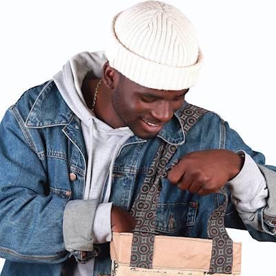
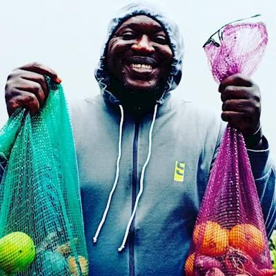
Amava Market launched
Offering a platform to young entrepreners to sell their products.
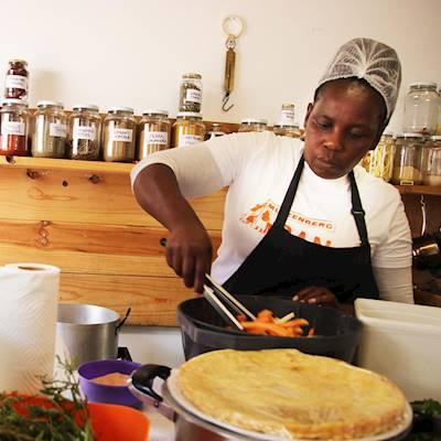
The Muiz Kitchen
Food Connects.